
Fajl:Belize location map.svg

Size of this PNG preview of this SVG file: 432 × 599 piksel. Čo iznon: 173 × 240 piksel | 346 × 480 piksel | 554 × 768 piksel | 739 × 1,024 piksel | 1,478 × 2,048 piksel | 788 × 1,092 piksel.
Ce fajli original (SVG фајл, номинәләдә 788 × 1,092 пиксел, фајли памјә: 106 KB)
Xylosə
| Təsvir |
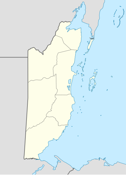
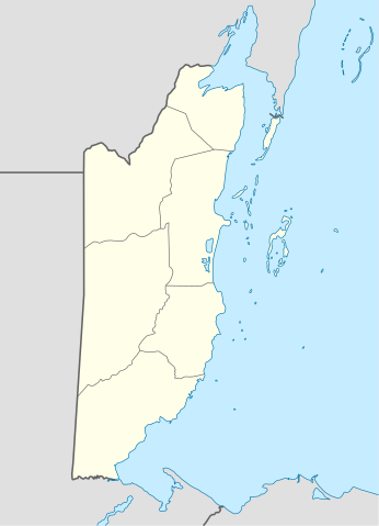
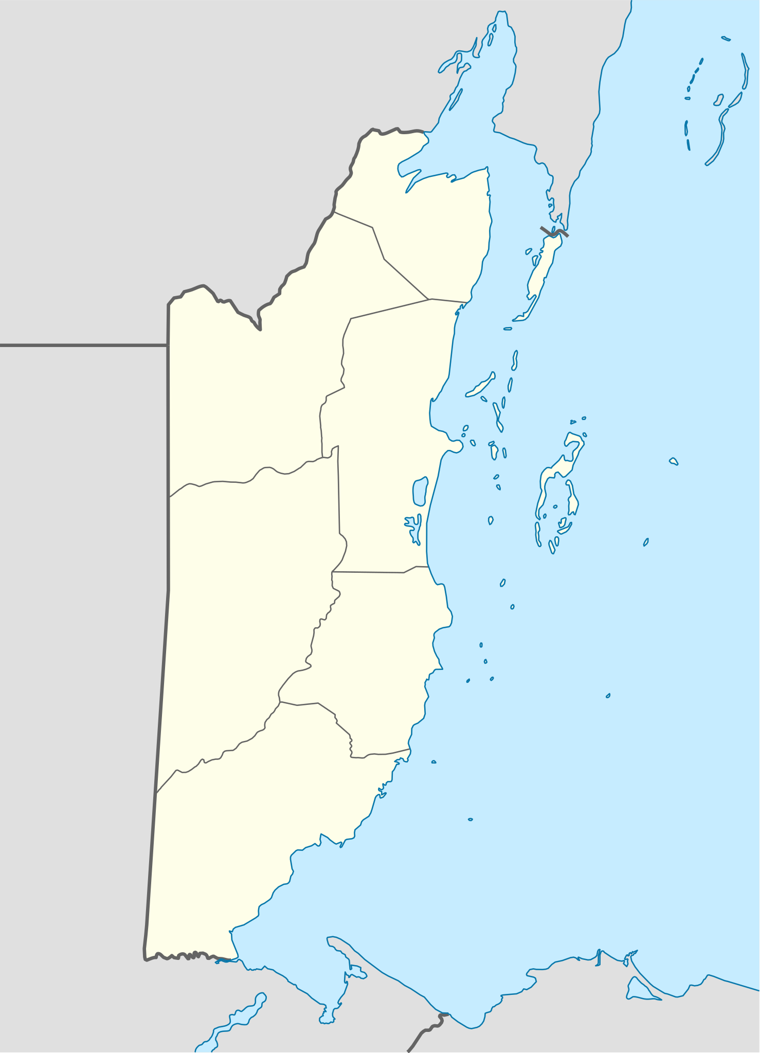
Deutsch: Positionskarte von Belize
Quadratische Plattkarte, N-S-Streckung 105 %. Geographische Begrenzung der Karte:
English: Location map of Belize
|
||||||||||||
| Taryx | |||||||||||||
| Mənbə | Own work using: United States National Imagery and Mapping Agency data | ||||||||||||
| Myəllif | NordNordWest | ||||||||||||
| SVG genesis |
|
||||||||||||

Lisensijə
NordNordWest, the copyright holder of this work, hereby publishes it under the following licenses:

|
Haštejədə kopijə karde, pevylo karde ijən/ja ovaxte ym sənədi de šərton GNU Free Documentation License versijon 1.2 ja pešonə gylon, edaštəše Ozodə progrəmmi oko doj fond, be ovaxtə nybə loon, be mətnon, bə iminə ijən oxonə dimkəšədə.
Lisensijə kopijə dəǧandə byə bə lo, nomyš GNU Free Documentation License. |
Ym fajl dastrəse de lisensijə Creative Commons Attribution-Share Alike 3.0 Unported.
Səbəro: NordNordWest
- Šymə ozod bəzynejon:
- pevylo karde – ym əsəri kopijə, pevylo karde
- umžən karde – ym əsəri ovaxte
- De ym šərton šejədə:
- səbəro – Šymə bəpe myəllifi bynyvyštən, by lisensijə link ogətən. Ymi bəbe de čurbəčurə varianti karde, žəgo cerə ki lisensijə doəkəs bə šymə dastək karde ja ym əsəri oko dojədə.
- hežo de həminə šərton pevylo karde – Əgəm šymə ovaxtedəjon, soxtedəjon čo əsər by əsəri bynovrədə šymə bəpe iminə əsəri lisensijə oko bydəjon ja
By lisensijonədə šymə bəzynejon har gylə vyžnije
Fajli tarix
Fajli syftə varianti vinde bə taryx/vaxti egətən.
| Tarix/Vaxt | Gədəlijə šikil | Pamjəjon | Ištirokəkə | Komment | |
|---|---|---|---|---|---|
| ysətnə | 11:15, 10 Dekabr 2016 | | 788 × 1,092 (106 KB) | Kaldari | Fixing Cayo District border per http://www.elections.gov.bz/modules/wfdownloads/visit.php?cid=109&lid=213 |
| 23:37, 4 Sentjabr 2008 |  | 788 × 1,092 (106 KB) | NordNordWest | size correction | |
| 23:34, 4 Sentjabr 2008 |  | 630 × 874 (106 KB) | NordNordWest | {{Information |Description= {{de|Positionskarte von Belize}} Quadratische Plattkarte, N-S-Streckung 105 %. Geographische Begrenzung der Karte: * N: 18.9° N * S: 15.6° N * W: 89.7° W * O: 87.2° W {{en|Location map of [[:en:Belize|Belize] |
Fajli oko doj
səhifə oko dojdən ym fajl:
Fajli umumi oko doj
Ym fajl oko doə bejdə by vikijonədə:
- Oko doə bejdə af.wikipedia.org
- Oko doə bejdə an.wikipedia.org
- Oko doə bejdə ar.wikipedia.org
- Oko doə bejdə ast.wikipedia.org
- Ciudá de Belize
- Belmopán
- Gran furacu azul
- Módulu:Mapa de llocalización/datos/Belize
- Módulu:Mapa de llocalización/datos/Belize/usu
- Aeropuertu de Corozal
- Aeropuertu de Dangriga
- Aeropuertu de Placencia
- Aeropuertu de Punta Gorda
- Aeropuertu de San Pedro
- Pista d'Aterrizaxe Héctor Silva
- Puertu de Belize
- Puertu de Big Creek
- Oko doə bejdə az.wikipedia.org
- Oko doə bejdə ba.wikipedia.org
- Oko doə bejdə be-tarask.wikipedia.org
- Oko doə bejdə be.wikipedia.org
- Oko doə bejdə bg.wikipedia.org
- Oko doə bejdə bn.wikipedia.org
- Oko doə bejdə bs.wikipedia.org
- Oko doə bejdə ceb.wikipedia.org
Dijə karde končo umumi oko dojdən ym fajli.