
Fajl:Uganda location map.svg

Ce fajli original (SVG фајл, номинәләдә 1,441 × 1,466 пиксел, фајли памјә: 431 KB)
Xylosə
| Təsvir |
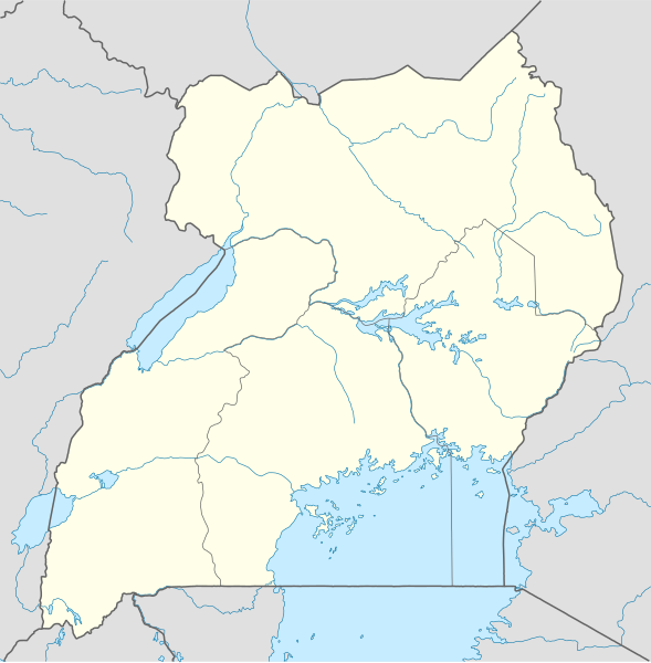
Deutsch: Positionskarte von Uganda
Quadratische Plattkarte. Geographische Begrenzung der Karte:
English: Location map of Uganda
Equirectangular projection. Geographic limits of the map:
|
|
| Taryx | ||
| Mənbə |
Cymy əməle, using
|
|
| Myəllif | NordNordWest | |
| Izn (Ym fajli sənibəton oko doj) |
This file is licensed under the Creative Commons Attribution-Share Alike 3.0 Germany license.
 This file is licensed under the Creative Commons Attribution-Share Alike 3.0 Germany license.
|
|
| Other versions |
Derivative works of this file: Uganda location map Topographic.png |


|
This map has been made or improved in the German Kartenwerkstatt (Map Lab). You can propose maps to improve as well.
|
Fajli tarix
Fajli syftə varianti vinde bə taryx/vaxti egətən.
| Tarix/Vaxt | Gədəlijə šikil | Pamjəjon | Ištirokəkə | Komment | |
|---|---|---|---|---|---|
| ysətnə | 23:25, 1 Dekabr 2009 | | 1,441 × 1,466 (431 KB) | NordNordWest | =={{int:filedesc}}== {{Information |Description= {{de|Positionskarte von Uganda}} Quadratische Plattkarte. Geographische Begrenzung der Karte: * N: 4.5° N * S: 1.7° S * W: 29.2° O * O: 35.3° O {{en|Location map of Uganda} |
Fajli oko doj
səhifə oko dojdən ym fajl:
Fajli umumi oko doj
Ym fajl oko doə bejdə by vikijonədə:
- Oko doə bejdə af.wikipedia.org
- Oko doə bejdə am.wikipedia.org
- Oko doə bejdə an.wikipedia.org
- Oko doə bejdə ar.wikipedia.org
- Oko doə bejdə ast.wikipedia.org
- Oko doə bejdə av.wikipedia.org
- Oko doə bejdə azb.wikipedia.org
- Oko doə bejdə az.wikipedia.org
- Oko doə bejdə be-tarask.wikipedia.org
- Oko doə bejdə be.wikipedia.org
Dijə karde končo umumi oko dojdən ym fajli.