
Fajl:LocationOceans transparent.png

Nav dijə kardej pamjə: 800 × 407 piksel. Čo iznon: 320 × 163 piksel | 640 × 326 piksel | 1,024 × 521 piksel | 1,280 × 651 piksel | 2,759 × 1,404 piksel.
Ce fajli original (2,759 × 1,404 пиксел, фајли памјә: 41 KB, MIME тиспир: image/png)

|
This locator map image could be re-created using vector graphics as an SVG file. This has several advantages; see Commons:Media for cleanup for more information. If an SVG form of this image is available, please upload it and afterwards replace this template with
{{vector version available|new image name}}.
It is recommended to name the SVG file “LocationOceans transparent.svg”—then the template Vector version available (or Vva) does not need the new image name parameter. |
Xylosə
| Təsvir |
|
| Taryx | 8 Mart 2006 (first upload to common) |
| Mənbə | Image:LocationOceans.png (previo us: Image:LocationWorld.png) |
| Myəllif | User:Dux (previa: User:David Kernów - first upload to Commons) |
| Izn (Ym fajli sənibəton oko doj) |
Public Doman |
| Other versions |
|
Other
- color depth: 256 Colors
- transparency: On
Lisensijə
| I, the copyright holder of this work, release this work into the public domain. This applies worldwide. In some countries this may not be legally possible; if so: I grant anyone the right to use this work for any purpose, without any conditions, unless such conditions are required by law. |
This image is in the public domain because it contains materials that originally came from the United States Central Intelligence Agency's World Factbook.
|
 |
Fajli tarix
Fajli syftə varianti vinde bə taryx/vaxti egətən.
| Tarix/Vaxt | Gədəlijə šikil | Pamjəjon | Ištirokəkə | Komment | |
|---|---|---|---|---|---|
| ysətnə | 13:14, 3 Aprel 2006 | | 2,759 × 1,404 (41 KB) | Nux | Hopefully will fix rendering error to small images |
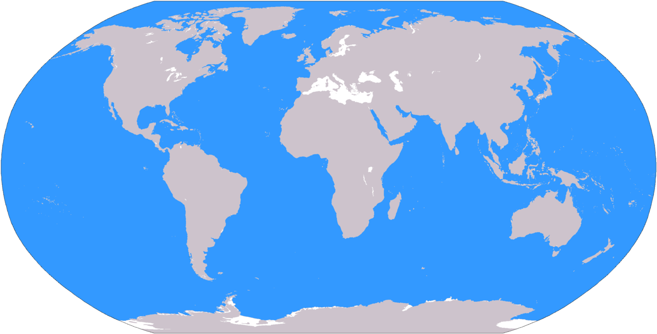
| 20:49, 1 Aprel 2006 |  | 2,759 × 1,404 (44 KB) | Nux | == Summary == {{Information| |Description= * '''English'''<br/>World map depicting ocenanic areas (in blue); map adapted from PDF world map at CIA World Fact Book. * '''Polski'''<br/>Mapa świata z zaznaczonym na niebiesko obsz |
Fajli oko doj
16 səhifon oko dojdən ym fajl:
Fajli umumi oko doj
Ym fajl oko doə bejdə by vikijonədə:
- Oko doə bejdə az.wikipedia.org
- Oko doə bejdə en.wikipedia.org
- Oko doə bejdə pl.wikipedia.org
- Oko doə bejdə sr.wiktionary.org
- Oko doə bejdə ta.wiktionary.org
- Oko doə bejdə tr.wikipedia.org